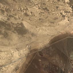
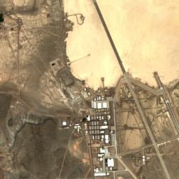
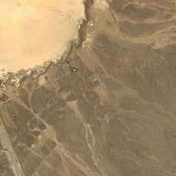
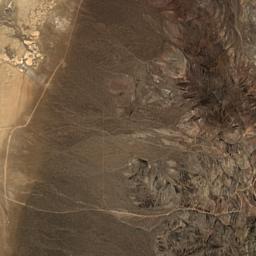
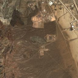
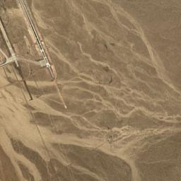
Latest Sentinel-2 L2A scene intersecting the watch area—— UTC
—tile cloud
Scene age
—
Platform
—
Product
Sentinel-2 L2A
Scene ID
—
Recent Sentinel-2 passesfull-tile cloud metadata
Querying recent scenes…
Cloud cover is catalogue metadata for the full Sentinel tile, not a cloud estimate for the facility itself. A recent scene is not evidence of activity.
Only NASA's transparent thermal-detection layer is shown here; the satellite basemap is deliberately omitted. Visible marks are published thermal anomalies for the selected day. A blank layer is not proof that no activity occurred, and this panel does not identify cause, intent, aircraft, or military activity.
Published telemetry history Loading published history…
Most recent published numeric history points
Date
Value
RAW / CURRENT
Observed
COMPUTED / PUBLISHED
Derived
The existing observer export supplies a derived primary metric. This page does not add a new calculation.
ARCHIVE / CONTEXT
Historical
Published history is presented as recorded values without a causal interpretation.
BOUNDARY / NOT ESTABLISHED
Unknown
The exports and public Earth-observation layers do not establish identity, purpose, intent, precise position, cause, or military activity. Absence or change in a signal is not an explanation.
03 / DOCUMENTATION
Methodology
The existing reachability collector and dashboard logic are unchanged. Public-source panels independently request catalogue metadata or imagery from Copernicus Data Space and NASA GIBS and keep those sources separate from the observer metric.
04 / PROVENANCE
Sources
Observer telemetry uses the existing local World Observer exports. Location context uses EOxCloudless Sentinel-2 imagery; satellite-pass metadata comes from the Copernicus Data Space STAC catalogue; thermal-anomaly imagery and its legend come from NASA Earthdata GIBS.